
Thanks to Dan Bennett for this guest post.
As an avid San Francisco walker, I’ve greatly enjoyed doing the Crosstown Trail, the Double Cross Trail, and the Roundabout. It occurred to me that in addition to walks connecting corners of the city, there must be interesting walks connecting approximate midpoints of the sides of the city. I started with a south-to-north walk from Mission Hills Park, on the midpoint of San Francisco’s southern border with Daly City, to Crissy Field East Beach, roughly the midpoint of the north shore. I call this the Triple Cross Trail, and it clocks in at about 10 miles.
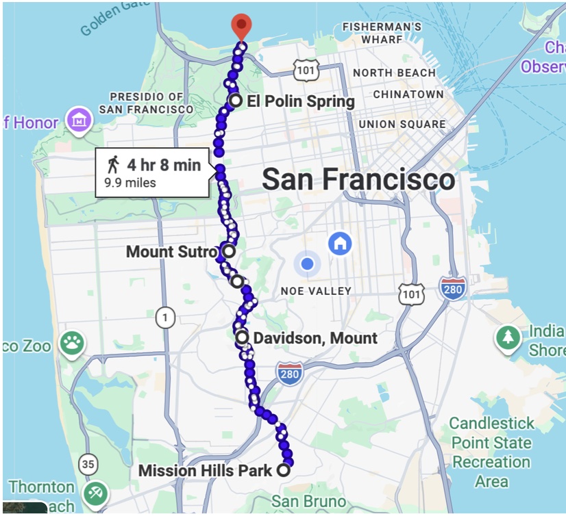
Starting at Mission Hills Park, highlights of the route include the Geneva Car Barn, City College, Mt. Davidson, Mt. Sutro, Kezar Stadium, the Conservatory of Flowers, Inspiration Point in the Presidio, El Polin Spring, and Crissy Field East Beach.
If you just want to get out and do the walk, that’s all you need to know! I’ll describe a route in more detail below, but you have plenty of ways to connect these highlights. There are also ways to hit more highlights, some of which are found on the Crosstown, Double Cross, and Roundabout trails. I’ve deliberately avoided duplicating them on this trail, but I’ll point out some of those in my description as “side quests.”
Because I’m an old man, I did the trail in three legs, each starting and ending at a transit-accessible location. A more ambitious walker could easily do it in two segments or even all at once.
Leg 1: Mission Hills Park to Portola and O’Shaughnessy
Google Maps: Mission Hills to Portola & O’Shaughnessy
Mission Hills Park is just south of the Daly City border. It’s not exceptional – just a nice little neighborhood park with views of where you’re about to walk. Muni gets reasonably close. I took the 14 Mission bus and walked up the hill to the starting point. SamTrans has a bus stop right there.
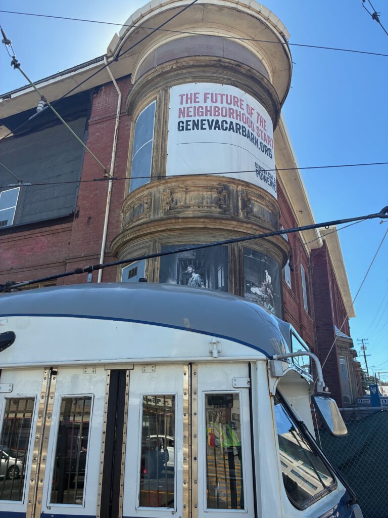
Start by walking northeast on Pope, which then turns north toward Mission. As it turns north, look down the street and you’ll see Mt. Davidson straight ahead – your big objective for Leg 1. Cross Mission and continue on Niagara to Delano. Turn right and walk one block to Geneva. Turn left to walk toward San Jose Ave., where you’ll come to the historic Geneva Car Barn.
Side Quest: Cayuga Park
Cayuga Park is a highlight of the Roundabout. If you haven’t done that walk but want to include it on this one, head straight down Guttenberg from the start instead of Pope. The park features some tiled steps and a very cool collection of totems carved by longtime park caretaker Demetrio Braceros.
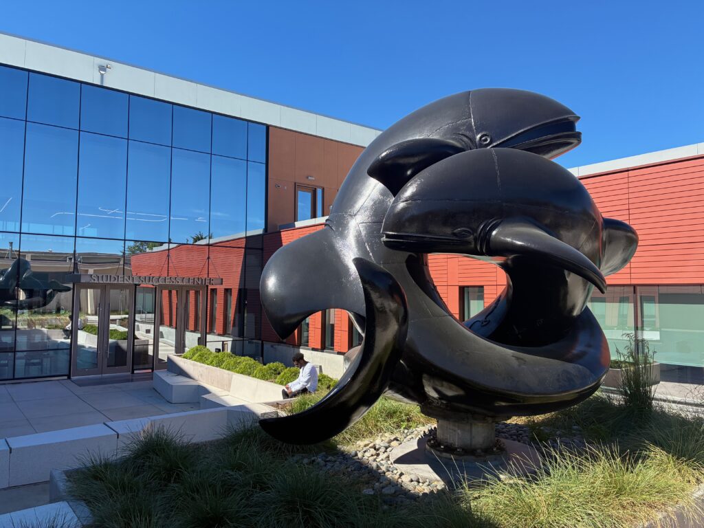
From the car barn, continue up Geneva across the freeway to a pedestrian bridge, which will take you across Ocean Ave. and into City College. You should be able to find bathrooms and water in just about any City College building. Continuing north into the campus, you’ll pass a whale sculpture that once graced Steinhart Aquarium and has found a new home at the City College Student Success Center. If the library is open, you can try to see the Diego Rivera mural housed there.
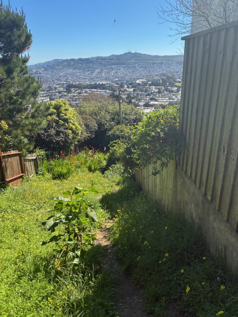
Continue north across campus to Gennessee. This is where your climb up to Mt. Davidson begins in earnest, especially once you cross Monterey Blvd. At the top of Gennessee, at Melrose, make a left and look for Lulu Lane continuing up the hill. Lulu continues across Los Palmos as a steep dirt trail, ending at Burlwood. Google Maps doesn’t seem to want you to walk up this second stretch of Lulu, but it’s there. You might not want to go up it either if it’s muddy.
Make a right on Burlwood, then wrap around making two lefts to get on Cresta Vista. Turn right into Coventry Court. At the end of the street, look for the Coventry Lane trail that continues up the hill to Myra. Once on Myra, you’ll see the bus stop to your left where the trails leading up to Mt. Davidson begin.
Make your way up a trail of your choice to the top of Mt. Davidson. The trail that wraps around the hill to the right offers the best views. Choose the left trail through the grove if you need shade.
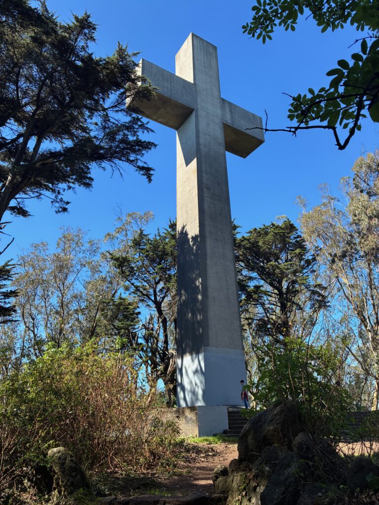
Several trails take you down the north side of Mt. Davidson. I took the one that takes you down to Rockdale. Turn right on Rockdale, then take the left fork onto Chaves. A left on Evelyn and a right on Portola take you to the end of Leg 1. You’ll find a bathroom at Tower Market, and you can find a couple of places to eat along this shopping strip as well. Various Muni buses serve this intersection. Just make sure you’re at the right corner to catch the one you want.
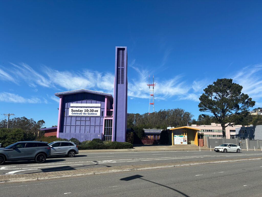
Leg 2: Portola and O’Shaughnessy to Willard and Carl
Google Maps: Portola & O’Shaughnessy to Willard & Carl
Cross to the north corner of this busy intersection to get onto Twin Peaks Blvd. Just a few yards up Twin Peaks, turn left onto Panorama. This is the intersection of the Crosstown and Double Cross trails. And now the Triple Cross too! Continue on Panorama to Olympia.
Side Quest: The Laguna Honda Trails
The Laguna Honda trails are a very cool feature of the original Crosstown Trail. If you haven’t done that yet, look for the trail peeling down the hill on the left side of Panorama. This will take you through the woods around the back of the Laguna Honda hospital to the intersection of Laguna Honda and Clarendon. From there you can walk up Clarendon to rejoin the Triple Cross.
Side Quest: Twin Peaks
The Twin Peaks area is featured in the Double Cross Trail. If you want to add it to this walk, continue up Twin Peaks Blvd. instead of turning onto Panorama. From Twin Peaks, make your way to Sutro Tower, across Clarendon, and onto the Clarendon Trail into the Mt. Sutro open space. Note: the Laguna Honda Trails and Twin Peaks side quests are mutually exclusive. You’ll have to choose one or the other. (Or neither.)
At the intersection of Panorama and Olympia, turn left and walk a short way to Dellbrook. Pause here and ask yourself how you feel about stairs. If you don’t like stairs, skip ahead to the next paragraph. I like stairs, so I chose a route with lots of them. To follow my stairs-biased route, continue downhill on Olympia to Midtown Terrace Park. Bathrooms and water are available there. Turn right on Clarendon and use the pedestrian bridge to cross. On the other side, go up Ashwood Lane to Warren, then jog left to find more stairs called Blairwood Lane. These three flights of stairs will take you all the way up to Crestmont.
If you don’t like stairs, turn right on Dellbrook (instead of continuing down Olympia). I haven’t walked this route, but it appears you’d be able to lose less elevation and get to the Mt. Sutro open space via the Clarendon Trail (and no stairs).
Assuming you opted for stairs, and you’re at the top of the stairs at Crestmont, Google Maps insists you go left on Crestmont. Instead, walk a few yards to the right and look across the street for steps kicked into the dirt going up the hill. This rough but passable trail will take you straight up into the Mt. Sutro trail system. Follow trails to the summit. From the summit, the North Ridge trail down the other side offers commanding views where eucalyptus has been cleared.
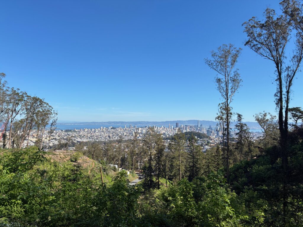
The North Ridge Trail ends at Medical Center Way. Walk down this street, then make a right into the Surge parking lot. At the end of the parking lot there’s a trail that takes you to the Farnsworth stairs at the base of Edgewood. As you go down the stairs, note the house on the left that seems to be accessible only from these stairs. At the bottom, go left on Willard and walk down to Carl and the end of Leg 2.
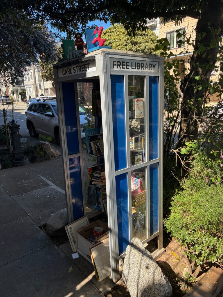
Leg 3: Willard and Carl to Crissy Field
Google Maps: Willard & Carl to Crissy Field
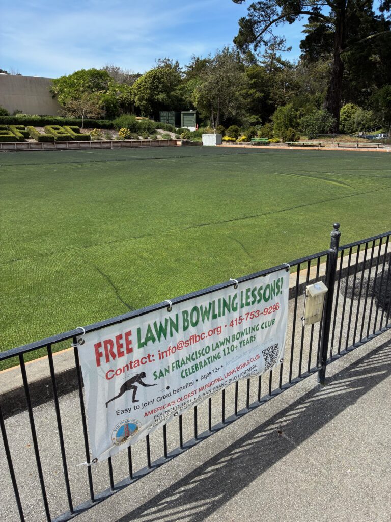
Continue north on Willard to Frederick and enter Kezar Stadium, the former home, in an earlier and larger incarnation, of the San Francisco 49ers. Walk into the stadium. You’ll find bathrooms and water here. Walk around the stadium and exit the west entrance. Cross Kezar Dr. into Golden Gate Park and make your way down to Bowling Green Dr. Note the signs offering free lawn bowling lessons! As a member of the club, I highly recommend this.
Side Quest: AIDS Memorial Grove
A walk through the AIDS Memorial Grove features in my Quad Cross Trail, described briefly at the end of this article. But as long as you’re here, consider adding it to your Triple Cross walk. It’s a lovely walk and a beautiful way to remember the loved ones we lost in the AIDS epidemic.
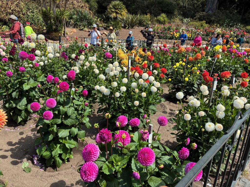
Continue on Bowling Green past the entrance to the AIDS Memorial Grove. Cross Nancy Pelosi and JFK Drives and proceed to the Conservatory of Flowers and Dahlia Garden. Apparently the dahlia is San Francisco’s official City Flower. Who knew! Your timing will have to be just right to see the dahlias in full bloom (in August).
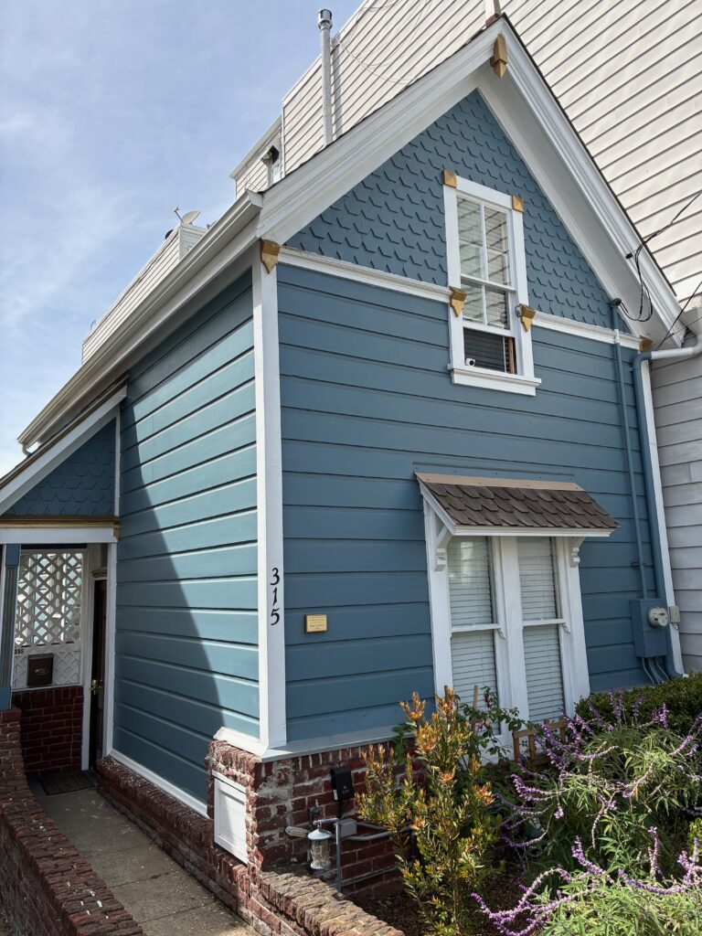
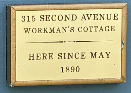
Stairs at the north end of the Dahlia Garden will take you to a trail that goes up to the Breast Cancer Memorial Garden, where Arguello meets Conservatory Dr. West. Cross Conservatory and take the trail to the left of Arguello that goes through the oak woodlands. Exit the woodlands at Fulton, then proceed down 2nd Ave. to Clement. The varied architecture among the homes on 2nd Ave. is astonishing. If you know your Victorians from your Edwardians and Queen Annes (which I don’t), you’ll see all these and more.
Make a right on Clement and a left on Arguello to head up to the Presidio. You’ll pass St. John’s Presbyterian Church and Temple Emanu-El, then you’ll come to the gated community of Presidio Terrace. I could be wrong, but I think former mayor and senator Dianne Feinstein used to live here. Assuming the gates are open and the private security doesn’t stop you, this loop is worth a side quest to see the variety of mansions. It feels like walking into a different community altogether. I got past security without any issue, but I didn’t push my luck to pull my camera out to take pictures.
Continue up Arguello into the Presidio. The golf club has bathrooms and water if you’re in need. Otherwise, cross Arguello and take the Ecology Trail across W. Pacific Ave., then back toward Arguello to Inspiration Point.
From Inspiration Point, to your right as you’re looking at the bay, some stairs will lead you back down to the Ecology Trail. Follow signs to El Polin Spring. When you get to the picnic area, you can take a small side quest by turning right and walking the loop around the spring. Lots of signs offer interesting information about the history and ecology of the area.
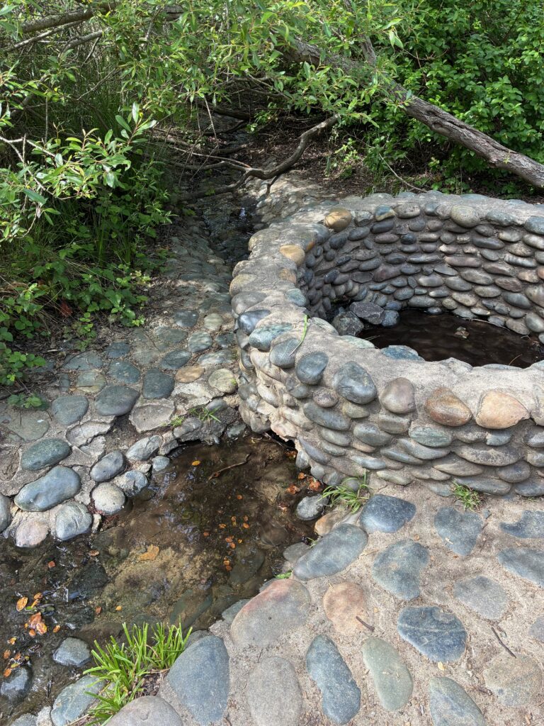
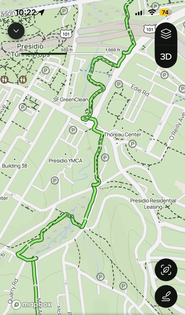
When you’re done exploring the spring, head north on MacArthur through what was formerly military housing. Where MacArthur turns right, turn left instead to cross to the other side of the meadow. At this point, Google Maps can no longer adhere to my route. Walk along the trail with the meadow to your right, then cross the bridge to go back to MacArthur. From here the goal is to follow the Tennessee Hollow Trail all the way to Crissy Field. It meanders, and it’s easy to lose when it crosses streets and intersections, but the map below shows the route.
On a personal side note, my first job when I moved to San Francisco in 1981 was as a military pay clerk at the active army base then housed at the Presidio. It was beautiful then – a great place to have a lunch hour. But what’s been done to transform it into the gem of a national park that it is now is nothing short of a miracle. If you can remember what Crissy Field used to look like, you’ll never take for granted how beautiful it is now.
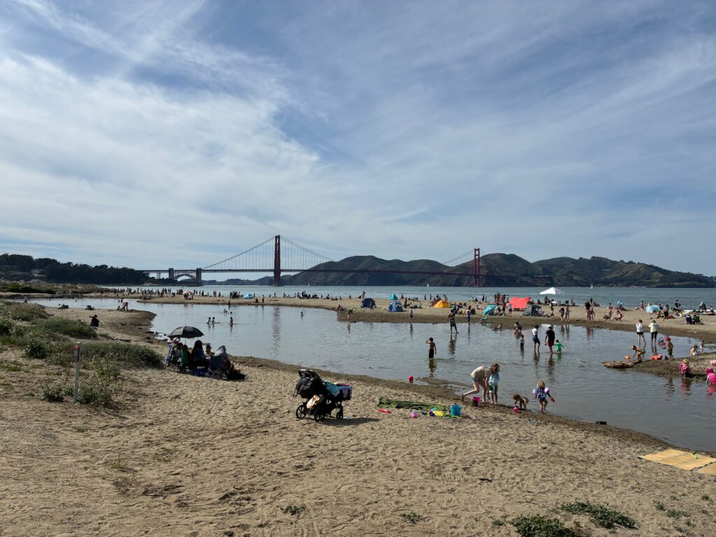
This third and final leg of the Triple Cross Trail ends at Crissy Field’s east beach. Don’t let the photo below fool you. You’re more likely to need a puffy jacket at this beach than a swimsuit.
Naturally, to criss-cross the city every which way, at least one more trail is required. I’ve also developed what I call the Quad Cross Trail, which goes from west to east, starting at Ocean Beach and ending at Crane Cove Park. It travels through Golden Gate Park, Haight Ashbury, Buena Vista and Corona Heights parks, a bit of the Castro, Dolores Park, the Mission, Potrero Hill, and Dogpatch. Hopefully I’ll have a chance to write about it here.
Many thanks to the developers of the Crosstown, Double Cross, and Roundabout trails for inspiring me to take longer walks in more distant corners of this beautiful city. There’s always something new to discover, and there’s nothing like getting out to the diverse neighborhoods, the outstanding parks, and the stunning views to remind me how lucky I am to live here. Happy walking!
Dan Bennett first walked out the door to wander city streets at age 3 or 4, much to his parents’ consternation. Now, as a retired teacher, walking streets, mountains, forests, and seashores remains a favorite pastime.