In June 2019, we launched the San Francisco Crosstown Trail, crossing our fingers that people would explore and enjoy it. And you have. The Trail is now a huge attraction for walkers, runners, and cyclists — both local and from afar. We’re celebrating the Trail’s first anniversary by inviting you to venture out on your… Continue reading Celebrate the Trail’s first birthday
Category: News
Trail Status Update
In today’s world, getting outside is important. The current recommendation is to stay close to home. Only travel with your own household, and try to stay 6′ apart from others you may encounter. Wear a mask when you get this close to others. Explore your neighborhood! If you visit the Crosstown Trail, here are some… Continue reading Trail Status Update
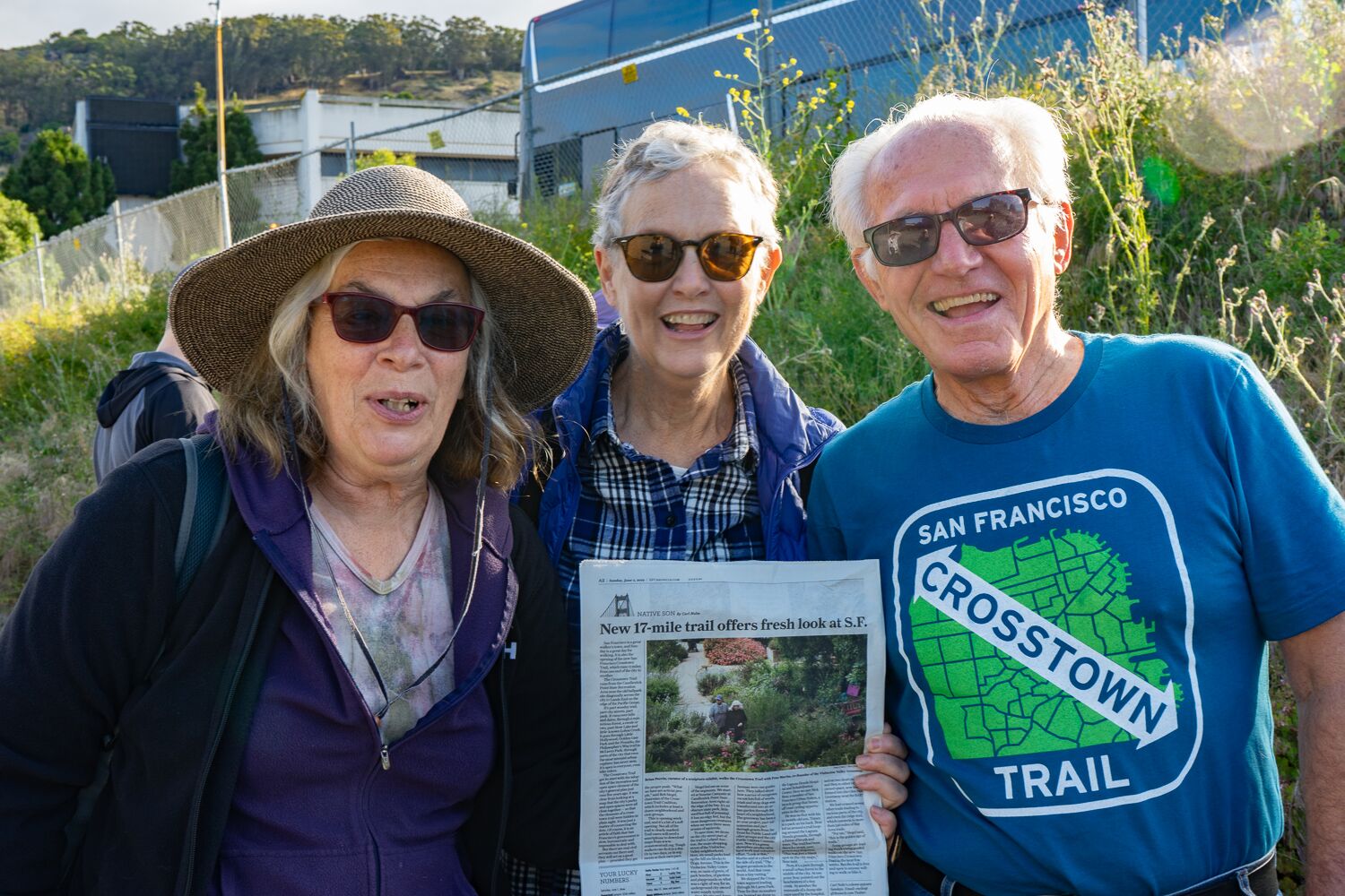
“A 17-Mile Hike to Unite San Francisco”
This morning we woke up to this heartwarming Nellie Bowles NYT article. Please help us share the good news. Be sure to check out the Maps and FAQ to learn more. Follow or tag us @crosstowntrail, #crosstowntrail, #sfcrosstowntrail. See you out on the trail!
September events and updates
Here’s the latest from our September newsletter. Map Updates The Crosstown Trail is not signed, so our maps, cue sheets, and app are your best bet for enjoying the trail. We recently updated everything, to include a few small tweaks based on feedback. And some have asked for a GPX file, which is now available… Continue reading September events and updates
Commemorative Hats & Shirts
The first batch of T-shirts was so popular… we got some more made. And some caps too. If you’d like one for yourself, stop by * Mission Blue SF in Visitacion Valley (On the trail where at Leland, at the Vis Valley Greenway) * Bird & Beckett Books in Glen Park (2 blocks from the… Continue reading Commemorative Hats & Shirts
“The Walker’s Map of SF” now features Crosstown Trail
First published in 2010, The Walker’s Map of San Francisco, by Pease Press, is a complete map of the city, showing every trail, stairway, and park, plus neighborhood commercial areas, scenic vistas, and MUNI routes. The new, fourth edition (released in July 2019), includes the Crosstown Trail; an inset map of Mount Sutro (including the… Continue reading “The Walker’s Map of SF” now features Crosstown Trail
Newsletter and survey
Always amazing seeing so many hikers and bikers and runners on the trail. We just sent out our latest newsletter. You can view it in your browser.If you enjoy it, subscribe for the next one, sent infrequently. How was your experience on the trail? We want to hear your feedback! Drop us a note or… Continue reading Newsletter and survey
Opening weekend draws more than 200 hikers and cyclists
Karen Rhodes | June 19, 2019 “What if I hosted a hike across San Francisco and nobody came?” Such were my thoughts as I stood at Candlestick Point, at the southeast corner of the city, on the morning of Saturday, June 1. I had offered to lead a hike along the brand-new Crosstown Trail, which… Continue reading Opening weekend draws more than 200 hikers and cyclists
Commemorative T-Shirts
We still have a few commemorative Crosstown Trail T-shirts! Buying a T-shirt is one way you can support the new trail. Please drop us a message (email crosstowntrail@gmail) if you would like a shirt — treat yourself or make it a gift .
Celebrate the opening of the San Francisco Crosstown Trail on National Trails Weekend (June 1 and June 2)
National Trails Weekend is the first weekend in June, and you can celebrate by being among the first to traverse all or part of the new 17-mile San Francisco Crosstown Trail (SFCT). The SFCT runs diagonally across San Francisco from the edge of the San Francisco Bay in Candlestick Point State Recreation Area to the… Continue reading Celebrate the opening of the San Francisco Crosstown Trail on National Trails Weekend (June 1 and June 2)